Our day began early. I had the alarm set for 05:45 and Scooterchick asked me if I was ready to get up at 05:43......ok, ok baby I'm getting up. My darling has a habit of catching me in candid moments, like when I'm making coffee. I may have mentioned that we travel with a French Press to make coffee in our room. Let's face it, God doesn't want His people drinking bad coffee.......mmmmmmm.....coffee!!
Another candid shot. I'm still stumbling around rubbing the sleep out of my eyes and yawning, loading the luggage cart in preparation for the drive.
We head east from our hotel and drive past Lake Coeur D'Alene. The lake, region and city are named after an Indian Tribe that lived around the lake and it's tributaries. The name, loosely translated means "Heart of an Awl" because of their reputation as shrewd traders.
we detoured off the highway to investigate the tiny mining town of Wallace Idaho.
As we rolled into town there was an old Texaco station (always trust your car to the man that wears the star) replete with a GMC PD2903, vintage about 1949.
This is Bank Street drowsing in the early morning sun. It's about 07:00 by this time and we were actually looking for some breakfast.
Looking at one corner we can see a historic building that now houses an art gallery, sadly not open to browsers at this early hour.
On the opposite corner we see the Insurance Building, replete with turret. This was apparently a popular architechtural detail at the fin de siecle The 19th, not the 20th.
This building housed Pennaluna and Company which sold mining stocks. It is a sturdy brick job, with at least one apartment upstairs.
This alleyway reminds me of old Vancouver, minus the drug dealers and homeless listlessly wheeling their shopping carts in search of more recycleables.
Here is a view down the alley the other way. Note the absence of trash!
This building was the original railway station in Wallace. It has been resited here and upgraded to house the Northern Pacific Railway Museum. Though the rail line is gone, the grade remains and is advertised as the Route of the Hiawatha, a gentle ride via mountain bike from Lookout Pass downhill all the way to Wallace, a distance of 8-9 miles. With the plethora of trails and backroads in this area, Scooterchick and I though it would be an ideal spot for a moto-campground!!
We crossed over the aforementioned Lookout Pass and entered Montana. A few miles on we stopped at a Rest area, and I took this picture of the Montana road map.
Feeling as though turnabout was fair play, I lifted my phone to snap a candid pic of the chick who was looking at the poster affixed to the wall on the opposite side of the divider.
We continued to roll downhill into Butte. This is a picture in the parking lot of a mall, totally unremarkable except for the hills visible in the middle distance which are composed entirely of mine tailings. After the ore is extracted and processed the remaining spoil is dumped in long rows higher and higher until it forms hills several hundred feet high and several miles long. The same phenomenon is visible as you go down Whipsaw Hill towards Princeton B. C. and the reason is the same. Copper. The main company here is Anaconda, and during the Second World War, they were extracting a vein that was so rich (70%) that 3 shovels full of dirt equaled 2 shovels full of money!!
Due to errant placement and fatigue the next few photos are out of order....so sue me. These are mountains to the south of Lookout Pass. Ski season is over for this year, but Lookout got
506 inches of fluffy Idaho Champagne Powder. Did I mention the pass rate is $229.00 for the 13-14 season. I could just barf! Need more info? https://skilookout.com/
Here is a view looking down the St. Regis river about 15 miles downhill from the pass.
This is looking upstream toward the west. The day is warm, the scenery exceptional.
Montana is known as Big Sky Country. Here is a glimpse of said sky with stratus and cumulus clouds for ornamentation.
By now it's about 09:00 and our stomachs are growling. Today's breakfast pales in comparison to yesterday's but we were able to check our emails with the complimentary wifi.
Again with the candid pics. Here am I schlubbing towards a breakfast burrito, hair akimbo in the morning breeze.
After breakfast we continue east, under that Big Sky towards Bozeman. The miles continue to mount up.
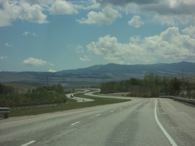
The road winds on, a long series of straight stretches broken by the gentlest of sinuous curves. All at speeds which would earn a $400+ speeding ticket in Canada, broken only by the occasional State Trooper passing us in pursuit of traffic travelling faster than us. Our cruise control was set at a leisurely 123km/h.
We stopped in Butte in search of snackies. We found these juicy morsels. The only drawback is trying to spit out the pits at over 70 m.p.h.
The other fruit on offer was Seedless Green Grapes, juicy and not too sweet. Delicious!
We continued on and crossed over the Continental Divide. From here all streams flow east to join the Mississippi River and thence to the Gulf of Mexico.
There were some interesting rock formations on the far side of the divide. We usually refer to these as Dinosaur Poo. The dinosaurs were busy here!
The road stretched on unwinding, we drove on unfazed, unblinking and undaunted!
As we continue on the Bridger Mountain range comes into view. These are named after the intrepid Jim Bridger explorer, mountain man, guide and raconteur. These are actually part of the Rocky Mountain Range.
We stopped at a Rest Area in Bozeman. Here am I with 3 flags, the Montana Flag, the Stars and Stripes and one commemorating POW-MIA service men.
There is a plaque honoring those who have served or are serving in defense of the nation.
Soon after Bozeman we approach Livingston. The mountain range in this view is the Gallatin Range. One would turn right here to travel down the Gallatin valley to enter Yellowstone National Park at the North Gate in Gardiner Montana.
This is a view down the Gallatin valley in passing. Although it is only 54 miles to the park entrance, it will have to wait for a another trip.
We stopped to get gas in the tiny town of Big Timber. Living on the Wet Coast we are acquainted with big timber and we saw nary a tree which would qualify here. Interestingly enough the mountains in the background are the Crazy Mtns. This is a contraction of the original Crazy Woman Mountains, referring to a Crow woman who went crazy after her family was killed during the westward expansion and lived out the remains of her life in this range.
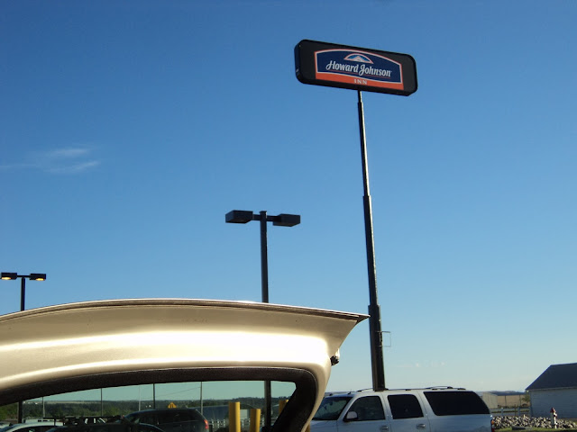
At the end of a long day we found our lodgings for the night......HoJo. We stopped at Cracker Barrel for dinner, topped off the gas tank in preparation for tomorrow and settled in.
We have reached the end of the day together. I am sitting listening to Gospel music while I compose these remarks, which have reached their logical conclusion here. Good bye now.


No comments:
Post a Comment